Stöbern
genialokal zum Startbildschirm hinzufügen
Installieren Sie die genialokal App auf Ihrem Startbildschirm für einen schnellen Zugriff und eine komfortable Nutzung.
Installieren Sie die genialokal App auf Ihrem Startbildschirm für einen schnellen Zugriff und eine komfortable Nutzung.
Tippen Sie einfach auf Teilen:
 Und dann auf "Zum Home-Bildschirm [+]".

Bei genialokal.de kaufen Sie online bei Ihrer lokalen, inhabergeführten Buchhandlung!
Ihr gewünschter Artikel ist in 0 Buchhandlungen vorrätig - wählen Sie hier eine Buchhandlung in Ihrer Nähe aus:
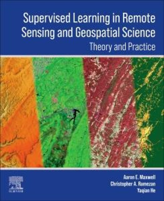
Supervised Learning in Remote Sensing and Geospatial Science is an invaluable resource focusing on practical applications of supervised learning in remote sensing and geospatial data science. Emphasizing practicality, the book delves into creating labeled datasets for training and evaluating models. It addresses common challenges like data imbalance and offers methods for assessing model performance. This guide bridges the gap between theory and practice, providing tools and techniques for extracting actionable information from raw geospatial data.
The book covers all aspects of supervised learning workflows, including preparing diverse remotely sensed and geospatial data inputs. It equips researchers, practitioners, and students with essential knowledge for applied mapping and modeling tasks, making it an indispensable reference for advancing geospatial science.
Aaron Maxwell is an Assistant Professor in the Department of Geology and Geography at West Virginia University. He is also the director of West Virginia View, an AmericaView member organization, and a faculty director of the West Virginia GIS Technical Center. He holds a PhD in Geology from West Virginia University and is a West Virginia native. The primary objectives of his work are to investigate computational methods to extract useful information from geospatial data that can inform decision making and to train students to be effective and thoughtful geospatial scientists and professionals. His teaching focuses on geographic information science (GISc), remote sensing, and geospatial data science. His research interests include spatial predictive modeling, accuracy assessment, applications of machine learning and deep learning in the geospatial sciences, digital terrain analysis, geographic object-based image analysis (GEOBIA), and geomorphic and forest mapping and modeling.