Stöbern
genialokal zum Startbildschirm hinzufügen
Installieren Sie die genialokal App auf Ihrem Startbildschirm für einen schnellen Zugriff und eine komfortable Nutzung.
Installieren Sie die genialokal App auf Ihrem Startbildschirm für einen schnellen Zugriff und eine komfortable Nutzung.
Tippen Sie einfach auf Teilen:
 Und dann auf "Zum Home-Bildschirm [+]".

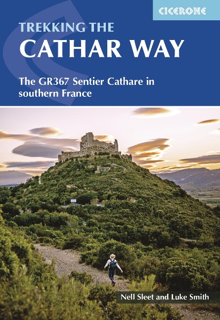
Follow in the footsteps of history along the GR367 Cathar Way (Sentier Cathare), a 260km (162 mile) trek from the Mediterranean coast at Port-la-Nouvelle to the Pyrenean foothills at Foix. This long-distance route threads through vineyards, rolling hills, and rugged mountains, connecting a chain of ruined medieval castles and villages that reveal the turbulent story of the Cathars a Christian sect persecuted during the 12th and 13th centuries. Suitable for hikers with some experience, the route is divided into 13 stages of 1227km (717 miles) and takes just under two weeks to complete. A northern variant offers a shorter, remoter option, while the main route includes nine iconic Cathar castles, culminating with Montségur, Roquefixade, and Foix. The path varies from gentle walks through rolling hills to strenuous ascents of up to 1000m and has clear waymarking and signage, with clear red-and-white GR balises, additional 'Sentier Cathare' posts, and helpful markers indicating the northern variant or misdirection points. - Step-by-step route descriptions supported by 1:100,000 mapping for each stage of the Cathar Way, helping you navigate the Languedoc's hills, valleys, and rugged Pyrenean foothills with confidence. - GPX files available to download, providing digital navigation for each stage of the GR367 and enabling flexible planning with GPS devices or smartphone apps. - Historical highlights include the Cathar castles of Montségur, Roquefixade, Foix, and other medieval fortresses, offering insight into the region's turbulent 12th- and 13th-century history. - Accommodation, transport, and facilities guidance, including chambres d'hôtes, gîtes d'étape, auberges, and hotels, as well as advice on where to stock up on supplies along the route. - Route options and variants, with the main GR367A southern route linking all nine Cathar castles, and a northern variant for a shorter, more direct walk that still showcases beautiful scenery. - Planning advice including best season to walk (AprilJune or SeptemberOctober), expected terrain, elevation changes, and tips on navigating French and Occitan-speaking villages along the route. Plan your Cathar Way adventure with confidence, exploring one of France's most captivating historical landscapes while enjoying a well-signposted and carefully mapped long-distance trek.
Luke and Nell are hikers, travellers and bloggers who detail their slow travel adventures around the world on their blog whatifwewalked.com. Inveterate world backpackers, they started the blog in 2017 when they walked the 2000km Via Francigena from Canterbury in the UK through France, Switzerland and Italy on to Rome. Since then they have walked extensively in Europe photographing, writing and blogging about trails in Germany, Spain, Portugal, the Faroe Islands, Scotland and much beyond. This is their first guidebook for Cicerone.
Map key Overview map Route summary table Introduction Languedoc history The Cathars and the Crusade The Cathar Way route Features of interest Planning the walk North variant Alternative ways to stage the Cathar Way Getting there Getting around When to go Accommodation Food and drink Language Money matters Phone and Wi-Fi Health and safety What to take Maps Waymarking Updates Using this guide The Cathar Way Port-la-Nouvelle to Puivert Stage 1 Port-la-Nouvelle to Durban-Corbi&##xe8;res Stage 2 Durban-Corbi&##xe8;res to Tuchan Stage 3 Tuchan to Cucugnan Stage 4 Cucugnan to Saint-Paul-de-Fenouillet Stage 5 Saint-Paul-de-Fenouillet to Caudi&##xe8;s-de-Fenouill&##xe8;des Stage 6 Caudi&##xe8;s-de-Fenouill&##xe8;des to Axat Stage 7 Axat to Quirbajou Stage 8 Quirbajou to Puivert Cucugnan to Puivert: north variant Stage 4a Cucugnan to Camps-sur-l'Agly Stage 5a Camps-sur-l'Agly to Bugarach Stage 6a Bugarach to Quillan Stage 7a Quillan to Puivert Puivert to Foix Stage 9 Puivert to Espezel Stage 10 Espezel to Comus Stage 11 Comus to Monts&##xe9;gur Stage 12 Monts&##xe9;gur to Roquefixade Stage 13 Roquefixade to Foix Appendix A Villages and towns with amenities Appendix B Accommodation Appendix C Useful contacts Appendix D French-English glossary Appendix E Further information and reading