Und dann auf "Zum Home-Bildschirm [+]".

Stöbern
genialokal zum Startbildschirm hinzufügen
Installieren Sie die genialokal App auf Ihrem Startbildschirm für einen schnellen Zugriff und eine komfortable Nutzung.
Installieren Sie die genialokal App auf Ihrem Startbildschirm für einen schnellen Zugriff und eine komfortable Nutzung.

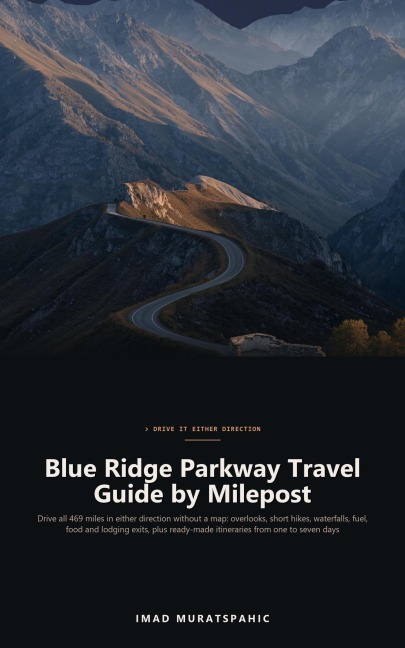

Your phone has no bars, the next gas station is thirty miles down an exit road, and the overlook you wanted is somewhere behind you. The Blue Ridge Parkway is 469 miles of some of the best driving in the East, and it has no fuel stations on it. Blue Ridge Parkway Travel Guide by Milepost is built to be read without a map and used in either direction. Every stop is listed by milepost, with the nearest town for fuel, food and lodging. It is not another year-stamped overview of the highlights: it is a working, milepost-by-milepost reference you can use northbound or southbound, whether you have one afternoon or seven days. Inside, you'll learn: How mileposts, speed limits, entrances and the no-fuel rule work, and how to read the listing in either direction When to go for spring bloom, summer green and fall color, and what crowds really look like What to know about weather, tunnels, fog, seasonal closures and long storm-damage closures, and how to check road status Every notable overlook, short hike, waterfall, visitor center and campground from MP 0 to MP 469, with exit towns One- to seven-day itineraries, northbound and southbound, as day-by-day lists that reflow on a phone Packing and vehicle-preparation checklists How to drive the Parkway with children, in an RV or on a motorcycle A Quick Reference of key mileposts, a glossary and answers to common questions Plan the drive, pack the checklist, confirm the road is open, and go.
Imad Muratspahic is an independent author of practical how-to guides, technical handbooks, history and fiction. The books aim to be clear, honest and useful from the first page.