Und dann auf "Zum Home-Bildschirm [+]".
Stöbern
genialokal zum Startbildschirm hinzufügen
Installieren Sie die genialokal App auf Ihrem Startbildschirm für einen schnellen Zugriff und eine komfortable Nutzung.
Installieren Sie die genialokal App auf Ihrem Startbildschirm für einen schnellen Zugriff und eine komfortable Nutzung.
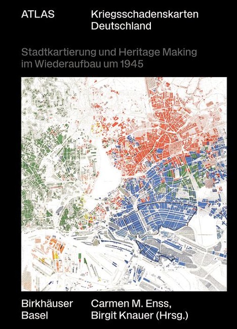
Approximately 60 large-format, historic city maps in full color For the first time, the Atlas Kriegsschadenskarten (Atlas of War Damage Maps) prepares an important source inventory for urban research and presents maps of Nuremberg, Hamburg, Hanover, Freiburg, Leipzig, and Essen from the 1940s and 1950s in large-format illustrations. Introductory essays are devoted to the development of war damage recording and discuss the significance of map documents for reconstruction and heritage processes. Thus, the book shows not only losses and destruction, but also the preservation of historically valuable buildings and structures and their evaluation in the light of the respective motivations that were decisive for reconstruction. - Cities studied: Nuremberg, Hamburg, Hanover, Freiburg, Leipzig, Essen - With English abstracts - Urbanism and architectural preservation
Carmen M. Enss, University of Bamberg; Birgit Knauer, Technical University of Vienna