Und dann auf "Zum Home-Bildschirm [+]".
Stöbern
genialokal zum Startbildschirm hinzufügen
Installieren Sie die genialokal App auf Ihrem Startbildschirm für einen schnellen Zugriff und eine komfortable Nutzung.
Installieren Sie die genialokal App auf Ihrem Startbildschirm für einen schnellen Zugriff und eine komfortable Nutzung.
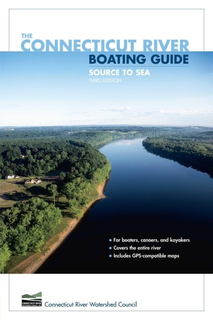

This is the all-new edition of the Connecticut River Boating Guide, the standard resource for boaters, canoeists, and kayakers. It includes thirty-two GPS-compatible maps that together map the entire length of the river. Data for twenty-eight river reaches include information on mileage, navigability, difficulty, sources of flow information, portages, camping, USGS maps and NOAA charts, special fishing regulations, boating facilities, and more. The narrative text accompanying the maps is a mile-by-mile description of the river with detailed information on landmarks, navigational hazards, conservation, wildlife, and history. The book is authored by, and published in cooperation with, the Connecticut River Watershed Council, the leading organization devoted to management of the river and its watershed.
Founded in 1952, the Connecticut River Watershed Council, with headquarters in Greenfield, Massachusetts, is the river's primary watchdog and steward "from source to sea."
Acknowledgments Preface Introduction Authors' Welcome to the River How to Use This Guide Boating Safety The River Map of Connecticut River Watershed The Four Geographic Regions of the Connecticut River Valley Geology: Grand Events in the Making of a Great River River Dynamics and Natural Plant Communities Connecticut River Fisheries A Connecticut River Valley History Animals Large and Small Vermont and New Hampshire Overview Map of Vermont and New Hampshire 1. Fourth Connecticut Lake to Murphy Dam 2. Murphy Dam to Canaan Dam 3. Canaan Dam to Colebrook 4. Colebrook to Bloomfield-North Stratford 5. Bloomfield-North Stratford to Guildhall 6. Guildhall to Gilman Dam 7. Gilman Dam to Comerford Dam 8. Comerford Dam to Woodsville 9. Woodsville to Haverhill 10. Haverhill to Orford 11. Orford to Ompompanoosuc River 12. Ompompanoosuc River to Wilder Dam 13. Wilder Dam to Cornish-Windsor Bridge 14. Cornish-Windsor Bridge to Cheshire Bridge 15. Cheshire Bridge to Bellows Falls-North Walpole 16. Bellows Falls-North Walpole to Putney 17. Putney to Vernon Dam Massachusetts Overview Map of Massachusetts 18. Vernon Dam to Turners Falls Dam 19. Turners Falls Dam to Sunderland 20. Sunderland to Northampton 21. Northhampton to Holyoke Dam 22. Holyoke Dam to Enfield Connecticut Overview Map of Connecticut 23. Enfield to Hartford 24. Hartford to Middletown 25. Middletown to East Haddam 26. East Haddam-Chester to Essex 27. Essex to the Sound (Western Shore) 28. Lyme to the Sound (Eastern Shore) Appendix A: Bibliography Appendix B: Useful Web Sites and Contact Information Appendix C: Marinas, Outfitters, and Guides Appendix D: The Connecticut River Watershed Council Index About the Authors